
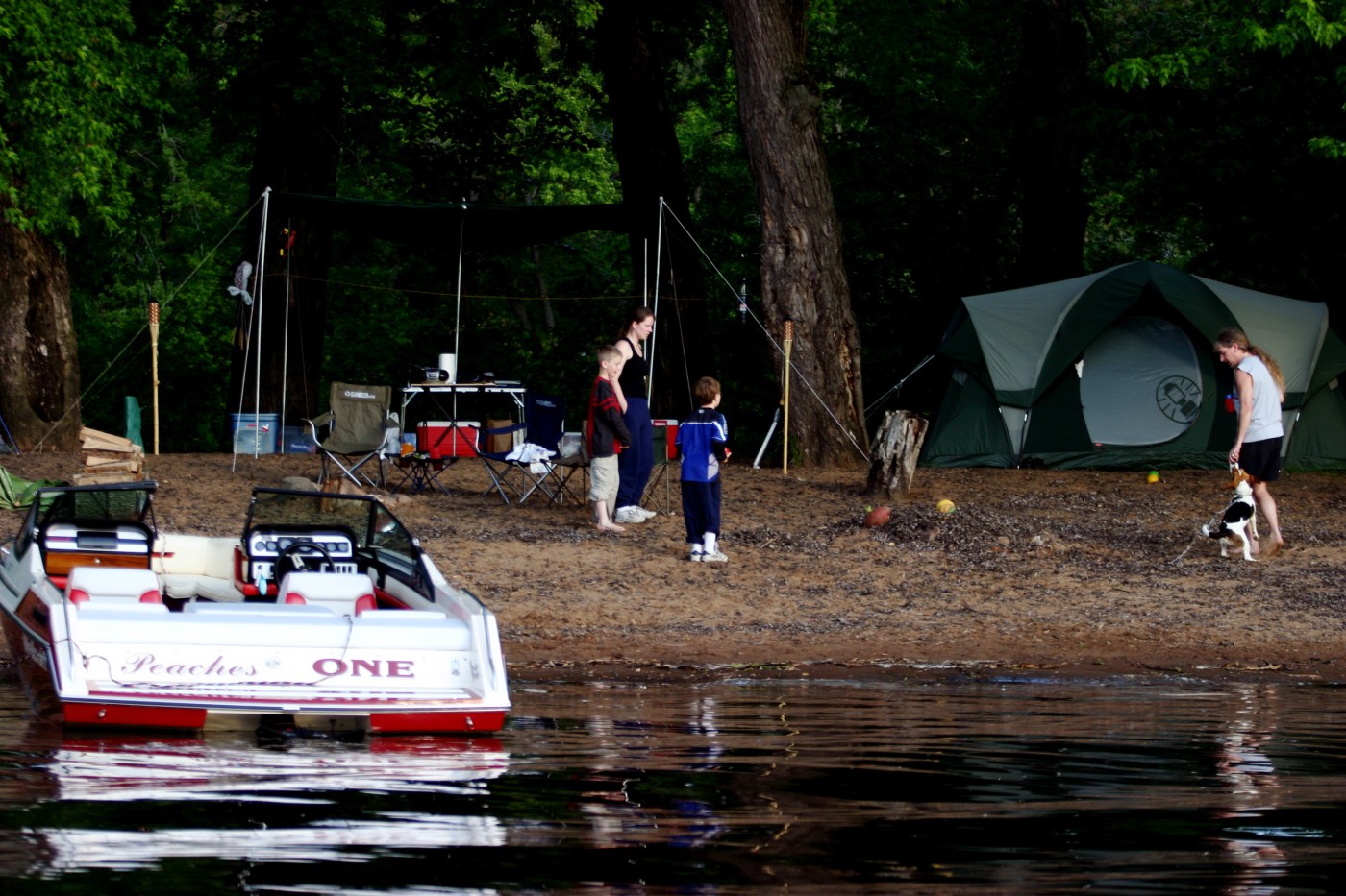
Campers could be asked to pay to reserve camping spots under changes being proposed for the St. Croix National Scenic Riverway as part of the final draft of a new management plan.
National Park Service officials are seeking public feedback on the proposed changes as part of the creation of a 146-page comprehensive river management plan that will guide the future of the St. Croix and Namekagon rivers. Comments will be accepted until Feb. 21.
The plan outlines the Park Service’s long-term management approach “for protecting and enhancing the outstanding natural, cultural and recreational values that led to the riverway’s designation as part of the National Wild and Scenic Rivers system,” said Nate Toering, a spokesman for the St. Croix National Scenic Riverway.
Once finalized, the plan will guide National Park Service decision-making on lands it manages within the riverway, Toering said, but any actual regulatory changes would require separate public processes and steps.
Camping reservations
Canoeists paddle up the St. Croix River to see the cliffs on the Minnesota side of the river near St. Croix Falls, Wis., on Saturday, Aug. 2, 2008. (Chris Kelleher / Special to the Pioneer Press)
One of the major changes being proposed concerns camping, which has become an issue with park visitors reporting difficulty securing campsites along the river and confusion over when a permit is required.
“This was based on feedback we received about people having a difficult time finding camp spots,” Toering said.
Visitors currently need to abide by different rules based on their location within the riverway. A permit is required for camping south of the dam in St. Croix Falls, Wis., while regulations north of the dam do not require visitors to obtain permits.
Park Service officials are considering implementing a zone-based reservation system for all Park Service-owned and managed sites in the St. Croix National Scenic Riverway via www.recreation.gov.
The number of available permits would not exceed the number of campsites available in each zone, according to the plan.
The zone-based reservation system would balance “letting campers know that they will have a spot in advance, but also have the freedom and flexibility to pick that spot while on the water,” Toering said.
It also would help support campsite maintenance and educate visitors on park rules, Toering said.
A camping permit would also be required for camping on designated islands south of the High Bridge to the Boom Site in the Lower St. Croix. Examples include Pillar Island and Mile Long Island, Toering said.
The plan does not directly impose new camping fees or reservation requirements. Those changes would require an additional public process, he said.
Boat speeds
A pleasure boat travels south on the St. Croix River near Stillwater in an aerial photo taken Thursday, July 20, 2017. (John Autey / Pioneer Press)
The plan does not directly implement new speed zones or boating restrictions. Any changes to speed zones would require further study, public engagement and separate rulemaking, Toering said.
Park Service officials instead plan to adopt a “three-phased approach” when it comes to any possible restrictions on boat speeds, Toering said.
First, Park Service officials will begin monitoring to determine if desired conditions are being achieved under current regulations.
Next, officials will implement emergency restrictions/closures through the Superintendent’s Compendium if monitoring determines that desired conditions are not being achieved. The compendium, which is updated annually, identifies visiting hours, closures, permit requirements and camping regulations and prohibits certain recreational activities (such as paintballing and geocaching) within the boundaries of the St. Croix National Scenic Riverway.
Finally, Park Service officials would work with officials from the Minnesota and Wisconsin Departments of Natural Resources to identify and implement alternate strategies to achieve desired conditions.
Also of note: Going forward and for the purpose of the plan, Park Service officials will use the term “no-wake” to include areas of “flat wake,” “no-wake” and “slow-no-wake” speed. The different terms and slightly different definitions related to wakes have created confusion for various user groups, according to the plan.
Multi-year planning process
Related Articles
Get into national parks free on Feb. 16 — but there’s a catch
US ski resorts turn to drones to make it snow amid dire drought
Skywatch: A disgraced charioteer turned goat farmer
‘Frozen water out?’ White Bear Lake Ice-Out Contest organizer contemplates name change, sticks with original
After ‘ICE out’ messages were destroyed, snow sculptors recreate their works in Minneapolis
Park Service officials began the planning process in 2023 and hosted nine public engagement sessions across the region. The current comment period marks the third and final opportunity for public input, Toering said.
“We encourage everyone to read the full draft online and share their feedback through the official comment portal,” he said. “This is a key opportunity to provide input directly on the proposed content before the plan is finalized.”
Comments can be submitted until Feb. 21 at parkplanning.nps.gov/sacnriverplan or by mail to St. Croix National Scenic Riverway (Attn: Superintendent), 401 N. Hamilton St., St. Croix Falls, WI 54024.
Leave a Reply